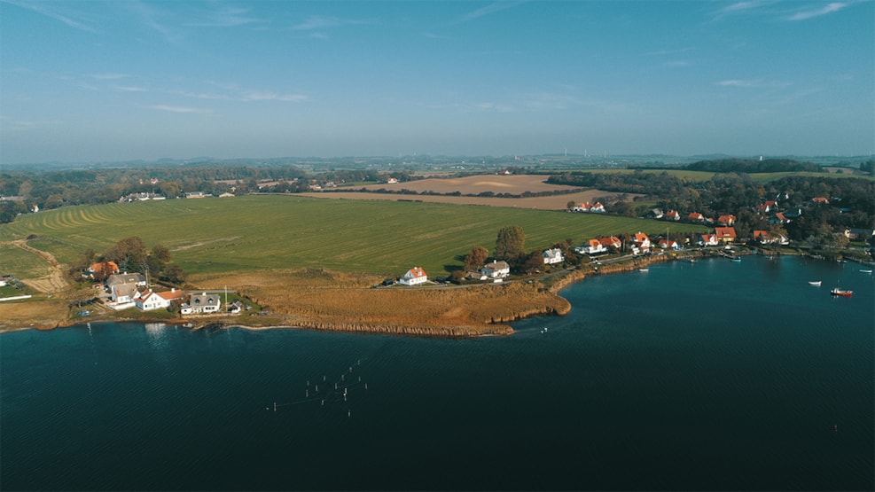
Hiking trail: The Little Belt Trail
The Two Hiking Trails on Lillebæltstien
Lillebæltstien is not one but actually two trails. One in the west and one in the east.
Lillebæltstien West
The western part of Lillebæltstien runs from Å to Løgismose Beach.
- Length: Approx. 10 km.
- Terrain: The path is a dirt trail and can be uneven and muddy at times.
- Folder Lillebæltstien West (PDF)
Lillebæltstien East
The eastern part stretches from Nabben to Damsbo Beach.
- Length: Approx. 8 km.
- Terrain: The path is a dirt trail and can be uneven and muddy at times.
- Folder Lillebæltstien East (PDF)
About Lillebæltstien
Lillebæltstien is a publicly accessible hiking trail near the coast, stretching over both public and private areas. This scenic route offers a unique blend of natural landscapes and cultural attractions.
The hiking trail is marked with icons of white hikers on a blue background.
During your hike, you will experience a variety of landscapes, including beaches, open fields, forests, and villages. You will also pass several manors and even a vineyard. There are many idyllic spots to enjoy the view and a packed lunch.
Parking
Parking is available at Å Strandvej, at the recreational area by Løgismose Skov, Damsbo Beach, and at Nabben.
Accommodation
Both in Å and at Løgismose Beach, you will find campsites offering both grassy areas for tents and cabins for overnight stays.
Signage
The hiking trail is clearly marked with a sign showing two white hikers on a blue background.
Tips for the Hike
- The path can be uneven and muddy at times. Good footwear is recommended.
- Remember to respect the privacy of private landowners by:
- Staying on the marked trail
- Keeping dogs on a leash
- Taking trash to the nearest trash can
- Taking care of nature
- Following the landowner's instructions
Maps and Information
- View Lillebæltstien on the map via this link: Map of Lillebæltstien
- View on Google Maps